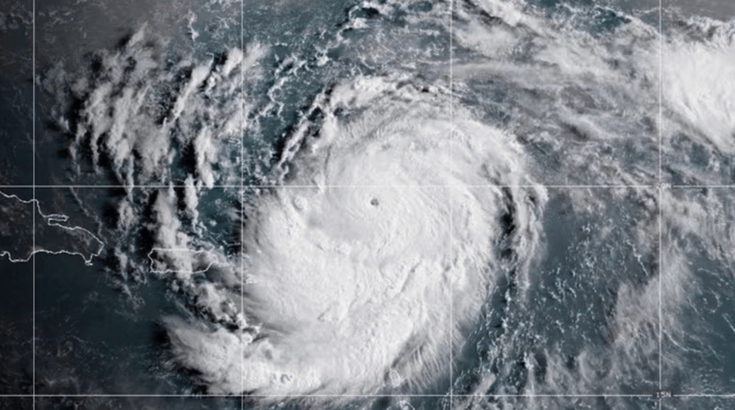
Hurricane Erin, the Atlantic’s first hurricane of the year, has been unleashing its power across the Caribbean—most recently pelting Puerto Rico with heavy rain and tropical-storm-force winds over the weekend. The storm knocked out electricity for more than 147,000 customers, though crews quickly restored most of the power by early Monday.
Air travel and shipping were also disrupted, with over 20 flights canceled and ports temporarily shut down across Puerto Rico and the U.S. Virgin Islands before reopening late Sunday.
By Monday morning, Erin had reintensified into a Category 4 hurricane with winds up to 130 mph, centered north of the Turks and Caicos and inching closer to the Bahamas. The storm is expected to remain a powerful, large hurricane into midweek, with dangerous surf and rip currents reaching as far as the U.S. East Coast and Canada’s Atlantic shores.
In North Carolina, officials declared an emergency for Hatteras Island on the Outer Banks, ordering evacuations as forecasters warn of flooding, highway washouts, and days of pounding surf.
Erin had briefly reached Category 5 strength over the weekend with winds topping 160 mph—a reminder of how quickly today’s hurricanes can intensify. Scientists point to climate change as a driver, with warmer ocean waters fueling stronger, wetter, and faster-growing storms.
Bottom line: Erin may not make a direct landfall on the U.S. mainland, but its size and strength mean ripple effects will be felt across the Caribbean, the Bahamas, and much of the Atlantic coast this week.


0 Comments